
Ruby McConnell’s research seems to lead her to discover the Oregon Trail around Mount St. Helens, specifically, the Council Crest. The Oregon Geographic Names revealed, “Council Crest was given its name when a group from the National Council of Congregational Churches met at the summit in 1898. Local lore suggests that the site once served as a meeting spot of the area’s Native Americans” (Council Crest Park, 2012).
What did Ruby McConnell have to say about this:
“The view from Council Crest seemed to beg intoxication. At 1,073 feet above sea level, Council Crest is the highest point in Portland. It is a comparatively small park, occupying just forty-three acres of land, but it has persisted for over a century as one of the most popular green spaces in the city on the weight of the view alone. On a clear day when the sun is shining you have a 360-degree view of five Cascade peaks and more than three thousand square miles of Northwest territory.”
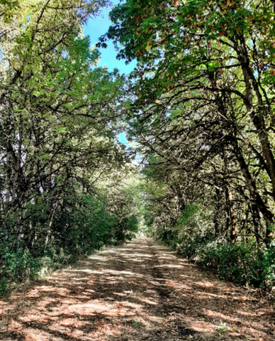
In McConnell’s latest book Wilderness & the American Spirit, she discusses more about the Applegate Trail. Much of the history of the Applegate Trail has been lost, but we do know that, along with 13 other adventurous men, Jesse and Lindsey Applegate set out to blaze a new southern route to the Oregon Territory. But did you know why? Here are some facts that might surprise you!

- “The Applegate Trail” was known as being safer, quicker, and more secure from possible British control if war had broken out over the Oregon Question, the trail (which was also known to Oregonians as Applegate's Cut-off, the Southern Emigrant Road, and simply as the South Road or Southern Road during its main period of use, 1846-1860) was intended to bring wagon trains of settlers into the Willamette Valley (Fields, n.d). Surprisingly, at Keno, Oregon, the Applegate Trail turned west and includes routes that joins the infamous Highway 66. https://insighttoashland.com/the-history-of-the-applegate-trail/
- Willamette Valley-bound travelers had discovered that the trail had rich soil and mild weather of the Rogue River country. These travelers returned in the early 1850s to claim homesteads under the Donation Land act, and three years later, 3,000 people used the Applegate Trail. Ultimately, their will to settle in the barely used farmland of southwestern Oregon was too important, despite the events that resulted in the deaths of emigrants by Modoc Indians (LaLande, 2022). https://www.oregonencyclopedia.org/articles/applegate_trail/#:~:text=Conceived%20as%20being%20safer%2C%20quicker,use%2C%201846%2D1860)%20was
- The Applegate trail underwent some other names in the process of creating a path for settlers. “Southern Route” or “Scott-Applegate Trail” had been a couple names that were considered in the naming controversy. However, in 1947, the name “Applegate Trail” was established into the history of Oregon by Walter Meacham, director of the Oregon Council of the American Pioneer Trails Association (Nemec, 2019, para. 35). https://historicoregoncity.org/2019/04/02/the-applegate-trail/
What did Ruby McConnell have to say about this:
“History would lead us to believe that only men made the journey west. Certainly, they were the only ones to be allowed to claim land, own businesses, or write laws. But the truth is that the travelers, for the most part, were family groups, often several brothers or cousins along with their wives and, typically, abundant numbers of children.”
If you would like to know more about the history or personal connection to each trail, check out Ruby McConnell’s Ground Truth and Wilderness & The American Spirit here on our website!
Photo Credit: Ruby McConnell